
2017, February | Bologna, Italy
Interesting 3D real time underground mapping of the Aposa Underground River in Bologna (Italy).
In collaboration with Topcon Italy, the Surveyors of Bologna (Collegio dei Geometri) and the local association Amici delle Acque.
We have been surveying the underground river for about 500 meters, both outside and underground.
The surveying time is equal to the walking one.

The Aposa Underground River in Bologna (Italy)
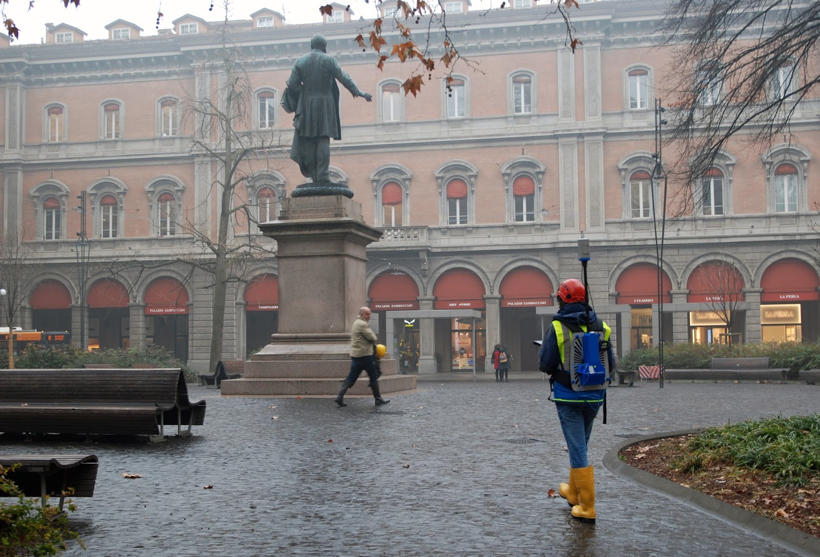
The outdoor surveying

The exit from the city underground tunnel

Few reference control points made with spheres have been placed by surveyor on the underground river tunnel. Walking the operator digit on the control unit touch screen monitor the position of the spheres for the final georeference.
Due to the fact that on the upper part of the tunnel several vertical shafts are present, to fully survey these details it is neccesary to recline Heron. In this way Heron is able to acquire also this narrow parts. (See Video)

In 4 hours, we have been surveying twice the tunnel and once the surveying path from the entrance and he exit of the tunnel.
The data have been exported in point clouds, managed with Heron Desktop and later with JRC 3D Reconstructor.